

If you ask most Americans why we commemorate Veterans Day on November 11 each year, many probably won’t know. And in case you’re in that group: the armistice that ended the fighting in World War I was signed on November 11, 1918.
As my wife and I began planning our trip with the kids to France this past summer, I knew right away that if we were going to be driving through Northern France, as was the plan, I wanted to take them to some of the key sights related to the war that has already seemingly begun to be forgotten, at least here in the US. We ended up working out an itinerary that took us to the site of one of the bloodiest battles of the war, and the place where that armistice was signed.
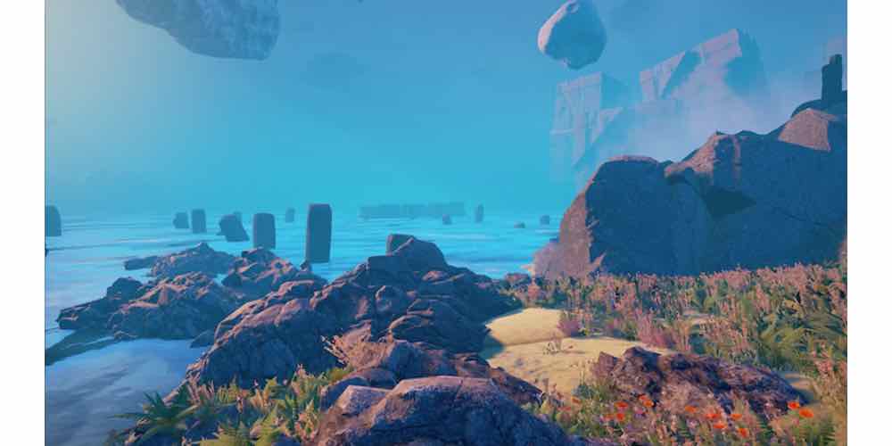
The Somme
World War I was triggered by the assassination of Archduke Ferdinand and his wife in Sarajevo on June 18, 1914. A complex series of mutual defense treaties amongst the European powers meant that when Austria declared war on Serbia, a series of dominoes fell and by August 4, all of the major European powers had declared war on one another.
In early 1916, French and British leadership decided on a massive assault on the German lines across the Somme river in northern France. However, shortly after the plans were made, the Germans began their assault on Verdun, which forced the Allies to rethink their strategy, but the overall plan of forcing the Germans out of their trenches in France and pushing them out of Belgium remained.
On July 1, 1916, the allies attacked. The resulting battle, known alternately as the Battle of the Somme or the Somme Offensive, lasted for nearly 3 1/2 months. In the end, the allies managed to advance a mere 6 miles, and at a staggering cost: an estimated 420,000 British soldiers were killed, wounded, and went missing. There were another 204,000 French casualties and around 608,000 German. The British Army lost 57,000 soldiers on the first day of the battle–the single bloodiest day in the Army’s long history.
The Somme was the bloodiest battle of World War I, and the site army-technology.com lists it as the third bloodiest battle of the 20th Century, after the battles of Stalingrad and Moscow in World War II. It is, in fact, one of the bloodiest battles in all of human history.
I knew all of this history before our first stop on our day driving through the Somme. I had first encountered the battle as a kid reading John Macdonald’s book Great Battlefields of the World, a book I have now passed down to my son. Also, the Somme wasn’t the first battlefield I or my family had visited. The day before, we went to the Hundred Years War sites of Agincourt and Crécy. I’ve been to Culloden in Scotland, and Gettysburg and Little Bighorn in the US, among others. So as we parked at the first site, I really thought I was prepared for the experience, and yet somehow, standing there, looking out over a field of small crosses on this place where death and destruction on an almost unimaginable scale happened a mere century ago, I was still overwhelmed.

That first stop was at Australian Division Memorial near the village of Pozieres. There wasn’t a particular reason for stopping here, other than the fact that it was the first place we saw that looked like it was something other than a cemetery. It was here, on July 23, that newly arrived Australian forces launched an offensive against the German front. Today, the Battle of Gallipoli in 1915 is more widely recognized in Australia and New Zealand, but the Australians lost more men in six weeks at Pozieres than they did in the entire Gallipoli campaign.


Today, Pozieres has a formal monument, with a walkway leading to the mound where an old windmill stood that was the focal point of the battle. The mound is flanked by a French and an Australian flag. But beyond that is the more poignant site: rows and rows of small wooden crosses, placed there by volunteers who felt that the Australian sacrifices deserved more.

Across the highway is another, more formal monument. It was at Pozieres that tanks were first used in combat, and this obelisk stands as a reminder to the brave men who fought in these new, mostly unproven weapons of war.
The image above is a 360-degree panorama I took of the Australian memorial, from the top of the mound where the windmill stood. The tank memorial is visible behind the cars.
Our next stop was the Lochnagar Crater. Part of the preparation by the Allies before the battle had been to dig under the German trenches and load these mines with explosives. Then, at the beginning of the battle, the mines would be detonated, hopefully decimating the German emplacements and resulting in an easy British win.
Half of that plan worked well. On the morning of July 1, 1916, Captain James Young of the 179th Tunnelling Company pressed a series of switches and detonated the mine at Lochnagar. It was the largest mine ever detonated at the time, and the loudest man-made noise ever created–there were reports of the explosion being heard in London. Between 300 and 400 feet of German trenches, reportedly full of German soldiers, were destroyed.
Unfortunately, it did little to impact the battle. British soldiers quickly took possession of the crater, but they ended up being shelled not only by the Germans but by their own artillery as well. At the end of the first day, the nearby village of La Boisselle was still in German hands, and more than 11,000 British soldiers lay dead on the field. Over 6000 of those were in and around the crater itself, making it the largest concentration of bodies anywhere in the Somme.


Today, the crater is owned by a private citizen, who has preserved it and opened it to the public. The crater is truly massive, and it has to be seen to be really appreciated. It’s 220 feet deep and 450 feet across. A wooden pathway allows visitors to walk the entire circumference of the crater, and memorials to some of the brave men who fought on July 1 have been erected around the edge.

Looking north from the crater, towards where the German lines were 101 years ago, we could see the red poppies that grow wild throughout the region and have since become a symbol of the sacrifices made during the war. It’s common today for the people in Commonwealth nations to wear a red poppy on Remembrance Day, their equivalent to Veterans Day in the US.

Also at the site was a small stand, where a very kind French gentleman was selling snacks and drinks and artifacts recovered in and around the crater. When he found out we were Americans, he showed my kids a knife recovered somewhere in France, clearly stamped “US 1917.” This artifact wasn’t from the Somme–the US didn’t enter the war until long after the battle was over–but it was an interesting reminder for the kids that we did fight in WWI.
Above is a 360-degree panorama of the crater. Behind me is the view towards the German lines; the gift stand/snack shape is just visible over my left shoulder.

After the crater, we headed to the town of Albert, the site of the largest museum dedicated to the battle. The museum, which is, like the crater, privately owned, was dug under the cathedral and is laid out so as to give visitors the feeling of what it might have been like to live and fight in the trenches. We actually wished that we had started out the day there, as it would have provided a better foundation for everyone in the family to understand the battle. We also discovered here that the only surviving actual trenches that are open to the public were way in the wrong direction, so, unfortunately, we had to skip them.

The town of Albert itself was beautiful. All over town are statues and monuments to the soldiers who fought in the battle.
Compiègne
Our other important World War I stop was the town of Compiègne. We had actually planned to visit the town for a very different reason–it was here, in 1430, that Joan of Arc was captured. My daughter had become interested in Joan during her 7th-grade history class, so we made a point of visiting a series of towns important to her life (but that’s a different post for a different day). But it was also in Compiègne that the fighting in World War I finally came to an end.

Technically, the armistice wasn’t signed in Compiègne itself, but rather in a clearing in the forest nearby. A very pretty drive out of town took us the Armistice Park. It was in a railcar in this clearing on at 5 AM on November 11, 1918 (the famed “11th hour of the 11th day of the 11th month” refers to the time the cease fire took effect) that the German and Allied powers agreed to bring an end to the fighting that had caused an estimated 38,000,000 casualties over the prior four years. (The other Central powers had agreed to cease-fires over the preceding weeks.)

The site where the car sat on that day is today a large concrete circle dedicated to the event, watched over by a gigantic statue to French Marshall Foch, Supreme Allied Commander during the war on one of the signatories of the armistice. (The railcar was, in fact, his private car.)
This 360 panorama shows the site where the armistice was signed. If you pan to the right, you can just make out the Foch monument across the concrete circle. The small building in front of us houses the railcar and museum.


The car itself no longer exists. From 1921 to 1927, it was displayed in Paris, but Foch and other WWI heroes personally oversaw its return to Compiègne in 1927, where it was put in a specially-built building. However, on June 22, 1940, Adolf Hitler personally forced the French to sign their surrender in the same carriage. The Nazis destroyed the building and took the carriage back to Berlin, where it was displayed throughout the war. As Allied forces advanced on the city in 1945, it was moved to a nearby town, but as US forces advanced on that town as well, the SS soldiers guarding it set it on fire, resulting in its total destruction. In 1950, a car that had been built at exactly the same time was renumbered and restored as an exact duplicate of the original, and that today is on display inside a small museum about the armistice. The museum also houses a few small fragments of the original car, recovered from Germany after the war.
Seeing where the war ended only days after having stood on its bloodiest battlefield served as a poignant reminder to all those who fought and died from 1914-1918.


You’ve reminded me of trips to Civil War battlefields with my father many moons ago. Thanks for digging up those memories. This is a wonderful read.